Blogs

User

What is an Orthophoto and How Does It Work?

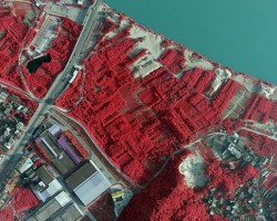
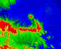
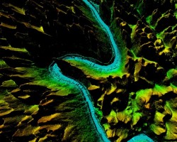
Orthophoto is a type of aerial photograph that has been corrected to remove perspective and terrain distortions. This means that the image is geometrically accurate and can be used…

User

The Advancements of 3D Mapping and Geospatial Data Processing

With the advent of technological advancements, the use of 3D mapping and geospatial data processing has become an essential part of various industries, including architecture, cons…

Exploring the Wonders of Infrared in Color Infrared Aerial Photography

Exploring the Wonders of Infrared in Color Infrared Aerial Photography

Infrared technology has been around for decades, but it has only recently become more accessible to the masses, thanks to advancements in digital imaging. One application of this t…

What is LiDAR and What is it Used For?

What is LiDAR and What is it Used For?

LiDAR, which stands for Light Detection and Ranging, is a remote-sensing method that uses light in the form of a pulsed laser to measure ranges (variable distances) between objects…

We are Geospatial Data Processing Service Provider

We are Geospatial Data Processing Service Provider

As a GIS data analysis service provider, Feiyan Remote Sensing​ has carried out aerial photography tasks in Quanjiao and Langxi counties of Anhui Province, and formed DEM and DSM t…