


We are Geospatial Data Processing Service Provider
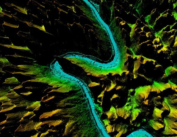
As a GIS data analysis service provider, Feiyan Remote Sensing has carried out aerial photography tasks in Quanjiao and Langxi counties of Anhui Province, and formed DEM and DSM through data processing.

In this project, the aircraft carrying VQ-780II and VQ-1560i aerial photography for flew 4 sorties.The obtained LiDAR point cloud data covered about 2618km²in Quanjiao and Langxi counties, and the laser point cloud data was better than 1pts/m². Eventually, the results are based on 2m×2m grid digital elevation model (DEM) and digital Surface model (DSM).
The preprocessed point clouds were classified automatically and manually, and the surface water area line with elevation information was taken as the feature line. After data processing, digital surface model(1:10000) and digital elevation model (1;10000) meet the basic mapping requirements.
- Category:
- Arts & Culture
- 30 Jan, 2023
- 1364 views
- No comments